Honorable Mention + Data Canvas Challenge 2013 International Exhibit Recommendation
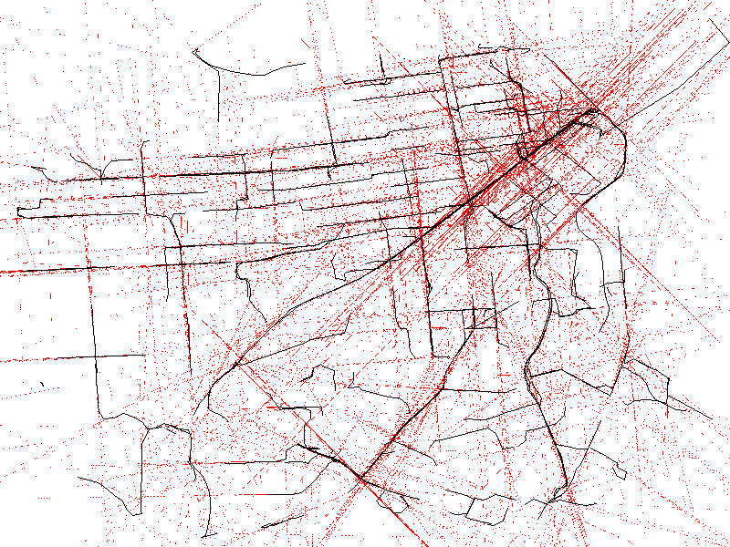
MetroMapperSF utilizes the real-time data of all SF transit vehicles to draw out a map of the cities metro network.
Every 10 seconds [API delay allowance] the data is updated, plotting the latest location of up to 650+ vehicles during peak time.
Their given speed and heading are shown in read, pushed to an extreme speed, in order to map out an alternative grid of prediction.
Project Link
Project Team
Ted Davis

